3.6.3 Datasets with Issues
All datasets in Spatial Studio must meet certain data requirements in order to be used for map visualization and analysis.
Otherwise, Spatial Studio highlights these datasets with a warning on the Datasets page.
You may click on the warning icon to view the issues. You can then click on the
resolution link under the issue to prepare the dataset as required for analysis, as
shown:
The following table lists a few common issues that are highlighted on a
dataset.
Table 3-2 Selected List of Dataset Issues
| Issue | Cause | Spatial Studio Resolution |
|---|---|---|
| No key column was found | Primary key is missing on the dataset. |
|
| This dataset needs spatial metadata and index | The geometry column in the dataset does not have the spatial metadata or a spatial index or both. | Click Create Spatial Metadata and Index to create the spatial metadata and index for the geometry column. |
| Preparation Required for mapping and spatial analysis | It can be due to one of the following reasons:
|
Depending on the cause, you may need to perform one of the
following:
|
Parent topic: Spatial Studio Datasets Page
3.6.3.1 Enabling Spatial on a View-Based Dataset with Latitude and Longitude Columns
Spatial Studio allows you to create spatial index on a dataset created
from a view containing latitude and longitude columns, thereby enabling you to visualize
and analyze views.
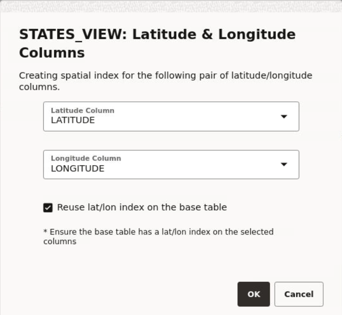
The following steps enable you to create latitude/longitude index on a
view-based dataset.
The instructions assume:
- You have created a dataset from a view having latitude and
longitude columns.
See Creating a Dataset from Database Tables or Views for more information on creating a dataset from a view.
- This view-based dataset is listed on the Datasets page with a warning icon since the dataset is not spatially enabled for visualization.
Parent topic: Datasets with Issues

