3.11 Performing Analyses in Spatial Studio
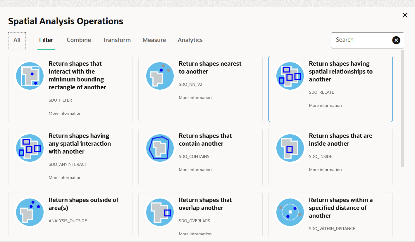
You can perform various spatial analyses (such as filtering by proximity, nearest neighbor analysis and so on) and visualize the results in Spatial Studio.
These spatial analyses are grouped under the following categories in Spatial Studio:
- Filter
- Combine
- Transform
- Measure
- Analytics
The following topics explore a few spatial analysis operations:
- Determining the Geometries Within a Specified Distance
Using theSDO_WITHIN_DISTANCEfilter, you can filter coordinates that are within a specific distance from a point on the map layer. - Determining the N-Nearest Geometries
Using theSDO_NN_V2filter, you can determine the N-nearest geometries to a geometry. - Determining the Geometries Filtered By Non-Spatial Attributes
You can perform non-spatial filter analysis using a compound query. - Summarize By Region Analysis
Spatial Studio supports descriptive analysis where you can obtain the summary of data points (such as count, average, sum, minimum, and maximum) on a region based dataset. - Creating Lines to Connect Latitude/Longitude Pairs
The Create lat/lon line transform operation creates a line connecting two pairs of latitude and longitude coordinates on a map layer. - Finding the Shortest and Quickest Route
Using the Driving route spatial analysis operation, you can find and store the shortest or fastest driving route between two points. - Editing a Spatial Analysis
You can edit an existing spatial analysis to modify certain essential parameters.
Parent topic: Using Oracle Spatial Studio
