3.11.5 Creating Lines to Connect Latitude/Longitude Pairs
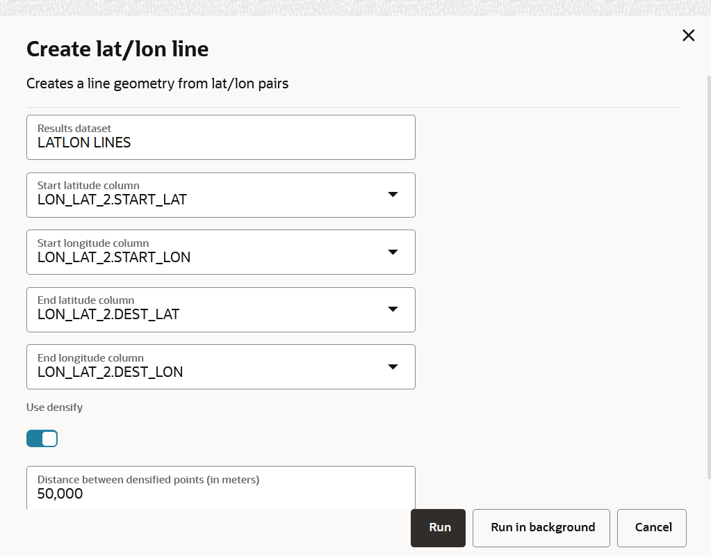
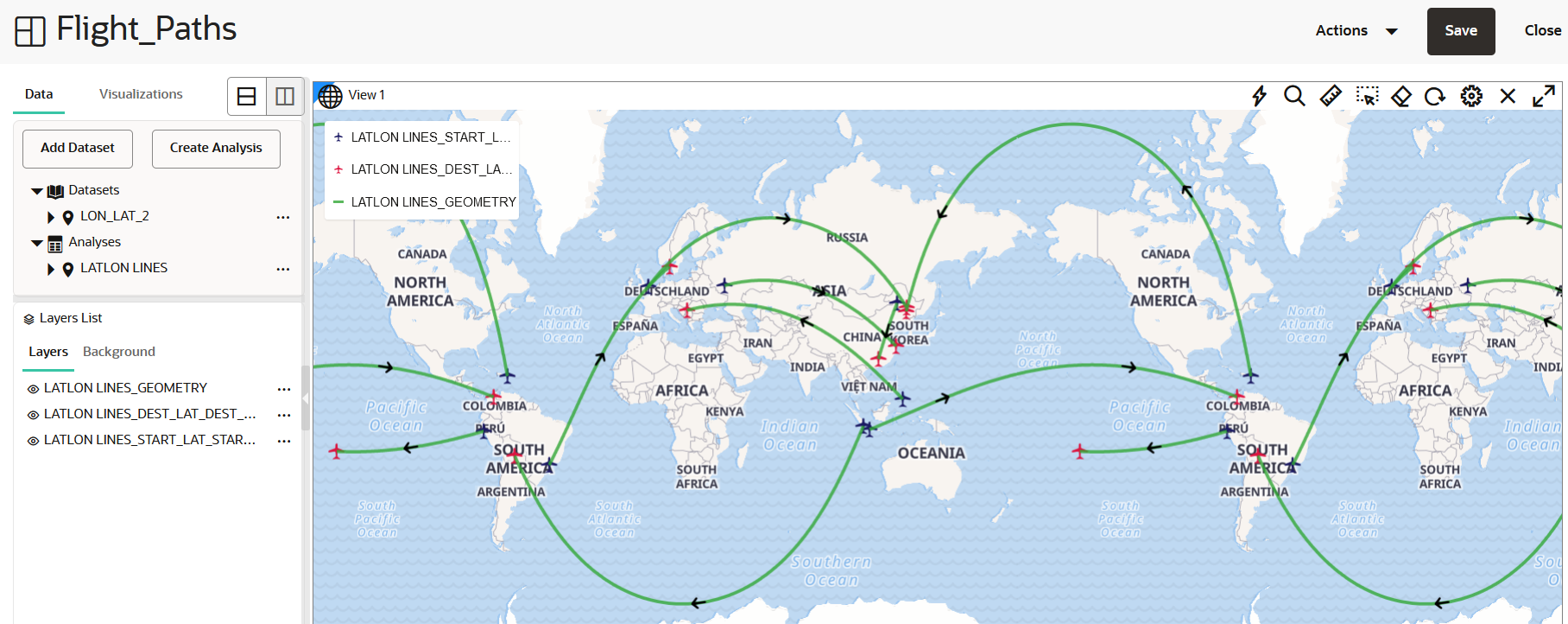
The Create lat/lon line transform operation creates a line connecting two pairs of latitude and longitude coordinates on a map layer.
To perform this transformation analysis, ensure that a dataset
comprising two pairs of latitude and longitude coordinates (one represents the starting
points and the other, ending points) in each row is added in the Active Project page.
The Create lat/lon line analysis takes the column names of these two pairs of
latitude and longitude coordinates as input and generates the line geometry connecting
the starting and ending points.
Perform the following steps to run the Create lat/lon line
spatial analysis.
Parent topic: Performing Analyses in Spatial Studio

