3.10.4.9 Applying Style to a CZML Cesium Map Layer
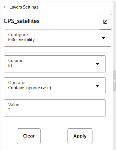
When using a CZML dataset in a Cesium map visualization, you can filter on a specific entity value or control the visibility (show or hide) for the displayed entities. Also, you can add an info window to enhance your map interaction.
The instructions assume that you have added a CZML dataset to a Cesium map on
your Active Project page.
Parent topic: Styling a Map Layer
