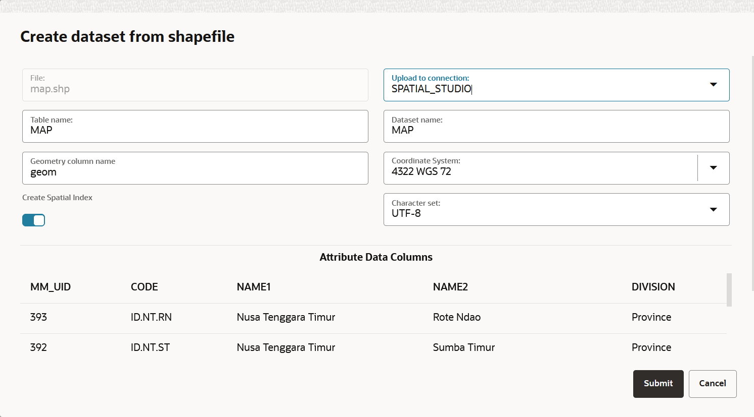
3.6.1.1.1 Uploading a Shapefile
You can create a dataset by uploading a shapefile.
A shapefile contains the geospatial data which can be referenced in multiple
files with specific file extensions. The following lists a few selected files that
contribute to shapefile format:
.shp- Stores the geometry data.shx- Stores the index of the geometry.dbf- Stores the attribute information of geometry features.prj- Stores the coordinate system information.cpg- Specifies the character set to be used
Parent topic: Creating a Dataset by Uploading a File
